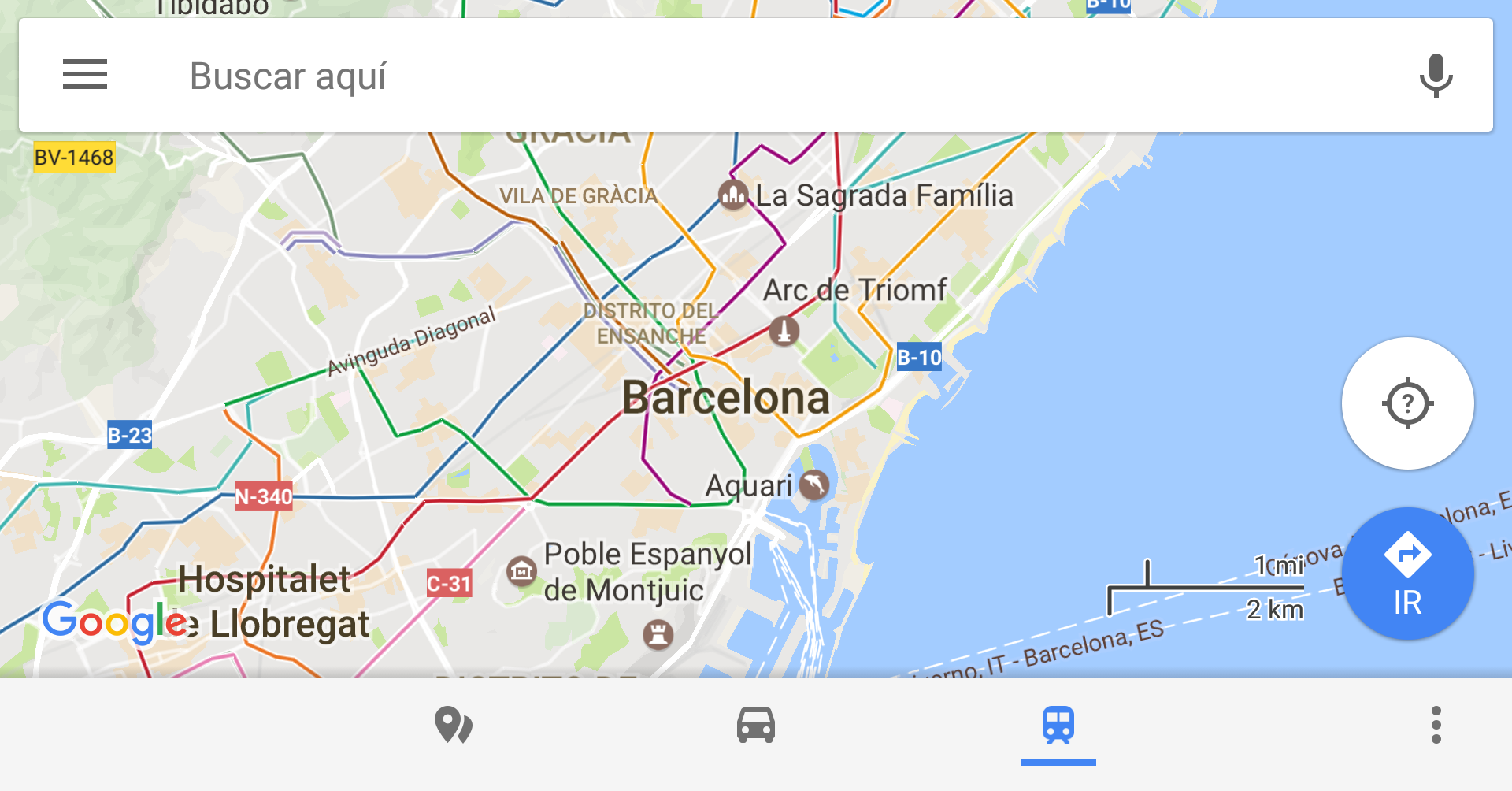
Google Maps has made relevant changes in recent months. You can add or modify streets from the Android app, you can record where you parked (a function that had disappeared) or prepare, as we saw a few weeks ago, to Introduce to-do lists that will take you from one place to another. Now, Google Maps shows the metro lines and stations in your city.
There are countless applications that show the different lines so that you can go from one place to another by metro, whether you are in Madrid, Barcelona, London or any city in the world. However, practically all of us have the Google maps system installed on our mobile. Now Google Maps shows us the lines on the map in a very simple way, with the different colors and tracing their routes and showing the different stops, so that we do not have to resort to any other application if we want, we do not lose. To see them we just have to touch on the transport icon of the application (shown in blue in the screenshot) and all the subway lines will appear.
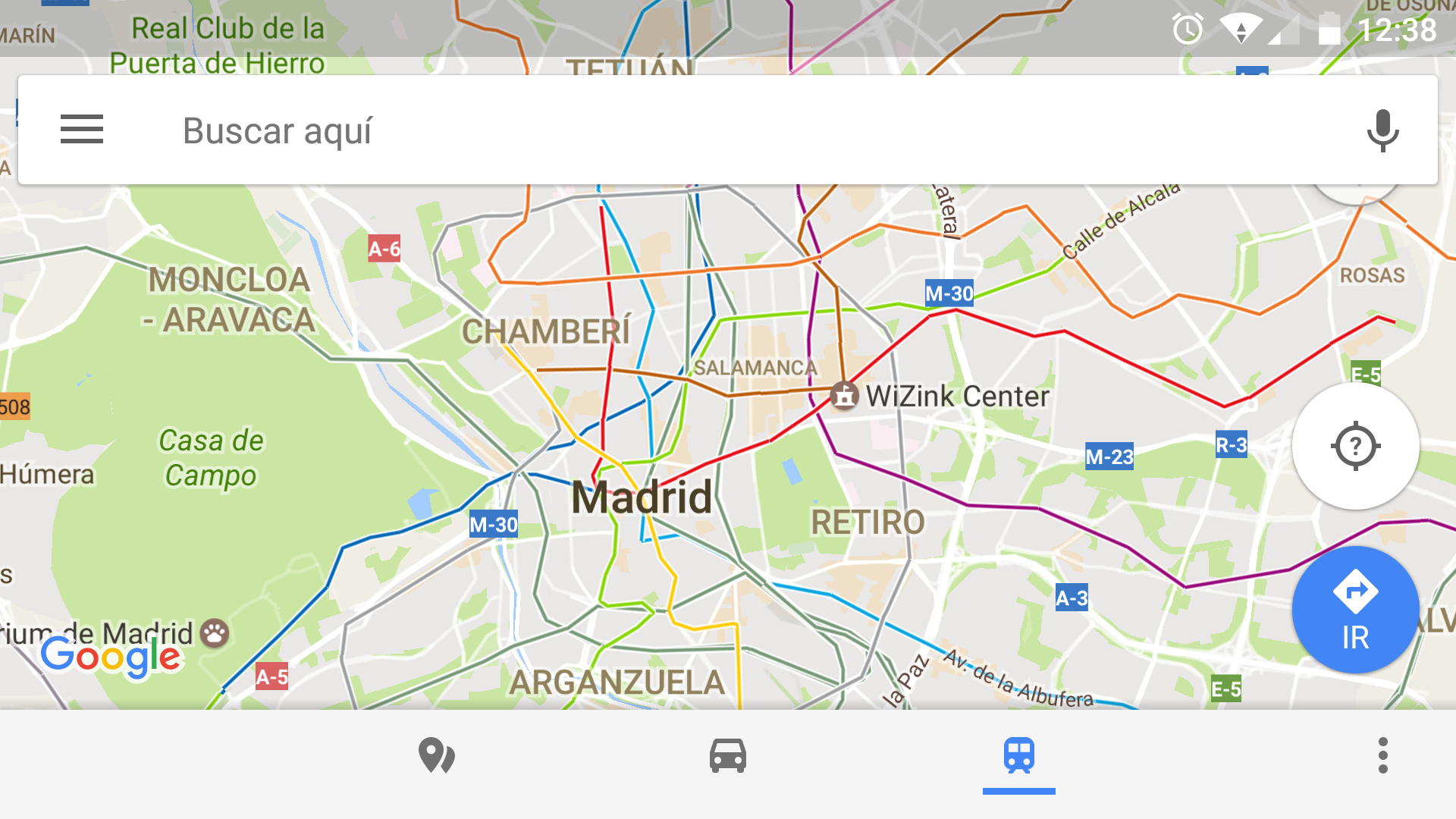
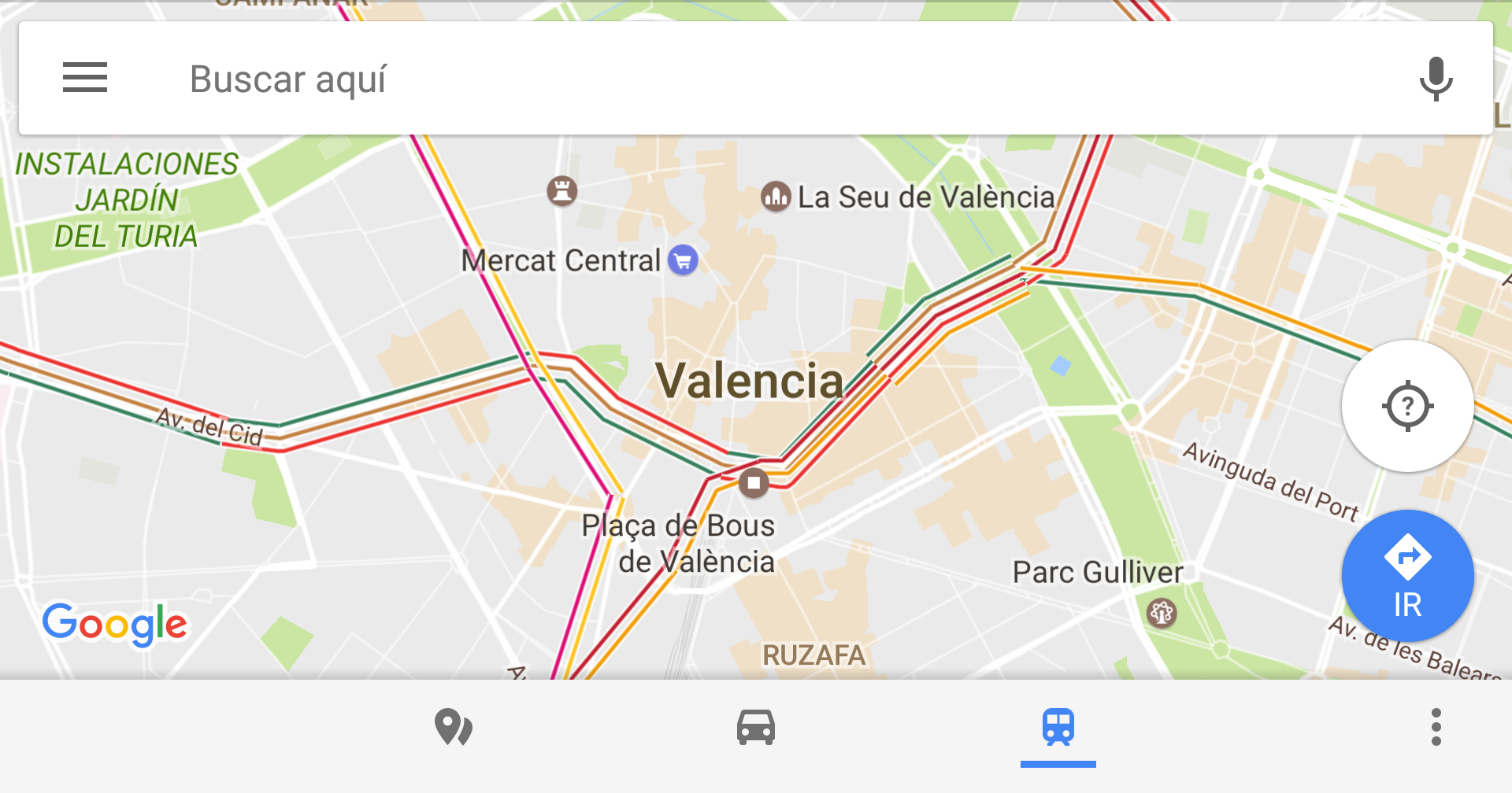
The lines are drawn on the city map in different colors, showing where they come from and allowing you to find at a quick glance how to get to a place without having to resort to the "how to get there" function of the app.. You will be able to trace your route in just a few seconds without having to look at subway plans or possible routes. It is also useful that beyond being a metro map you It shows the exact streets and not just the area you pass through.
The function is coming in progressively so you may not see it on your phone yet or it may not yet be available in all cities although, as we have seen, it already appears in practically all. It is a question, once again, of having some patience and hope that from Mountain View they globalize this useful feature.